Hawkley to Steep

May 16, 2025

by avatar @robertclarke64

East Hampshire, England, United Kingdom

Moderate

Distance 12.17 km
Est. duration 02h 43m
Elevation Gain 403 m
Elevation Loss 400 m
Category Hiking

Description

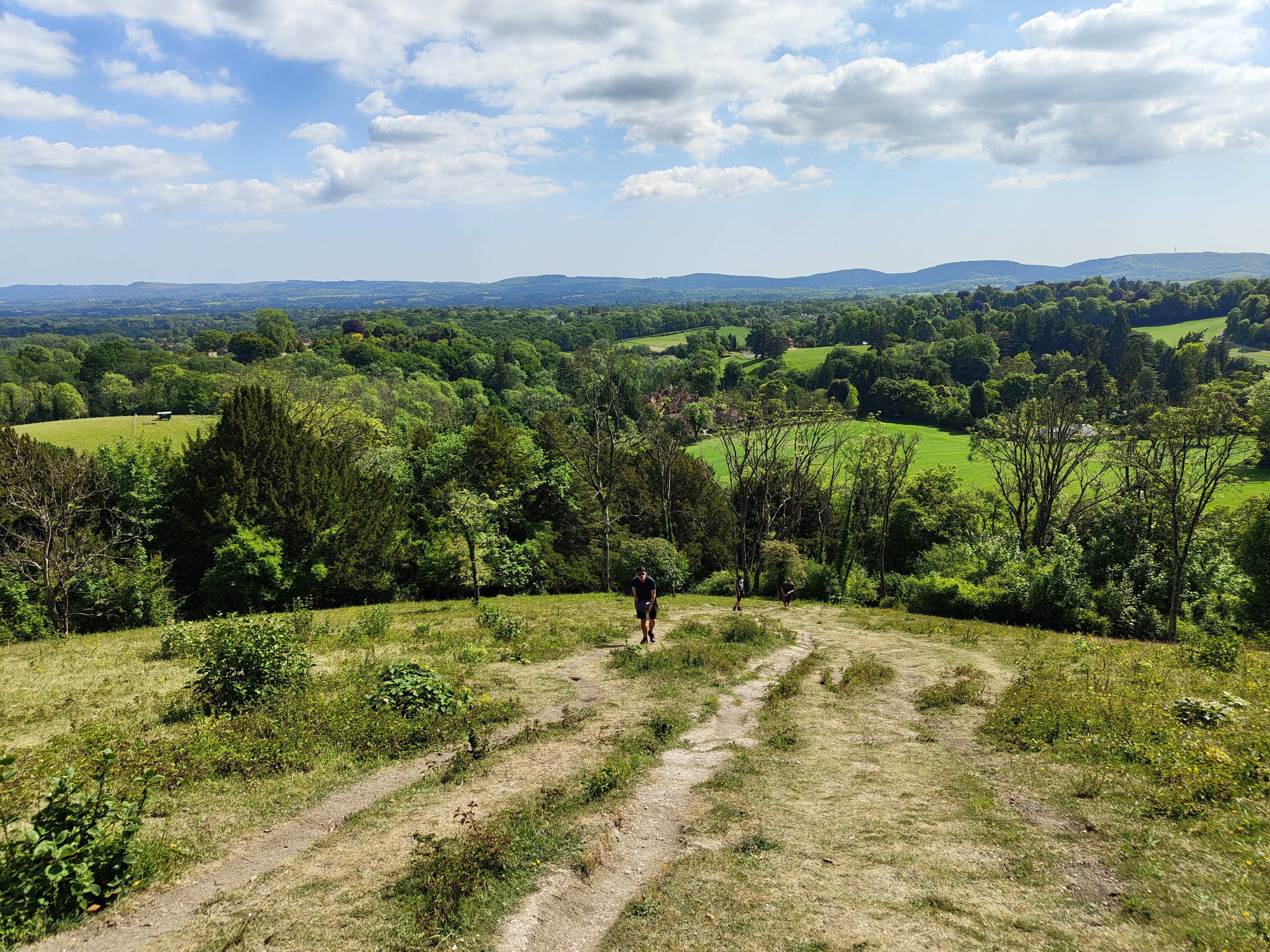
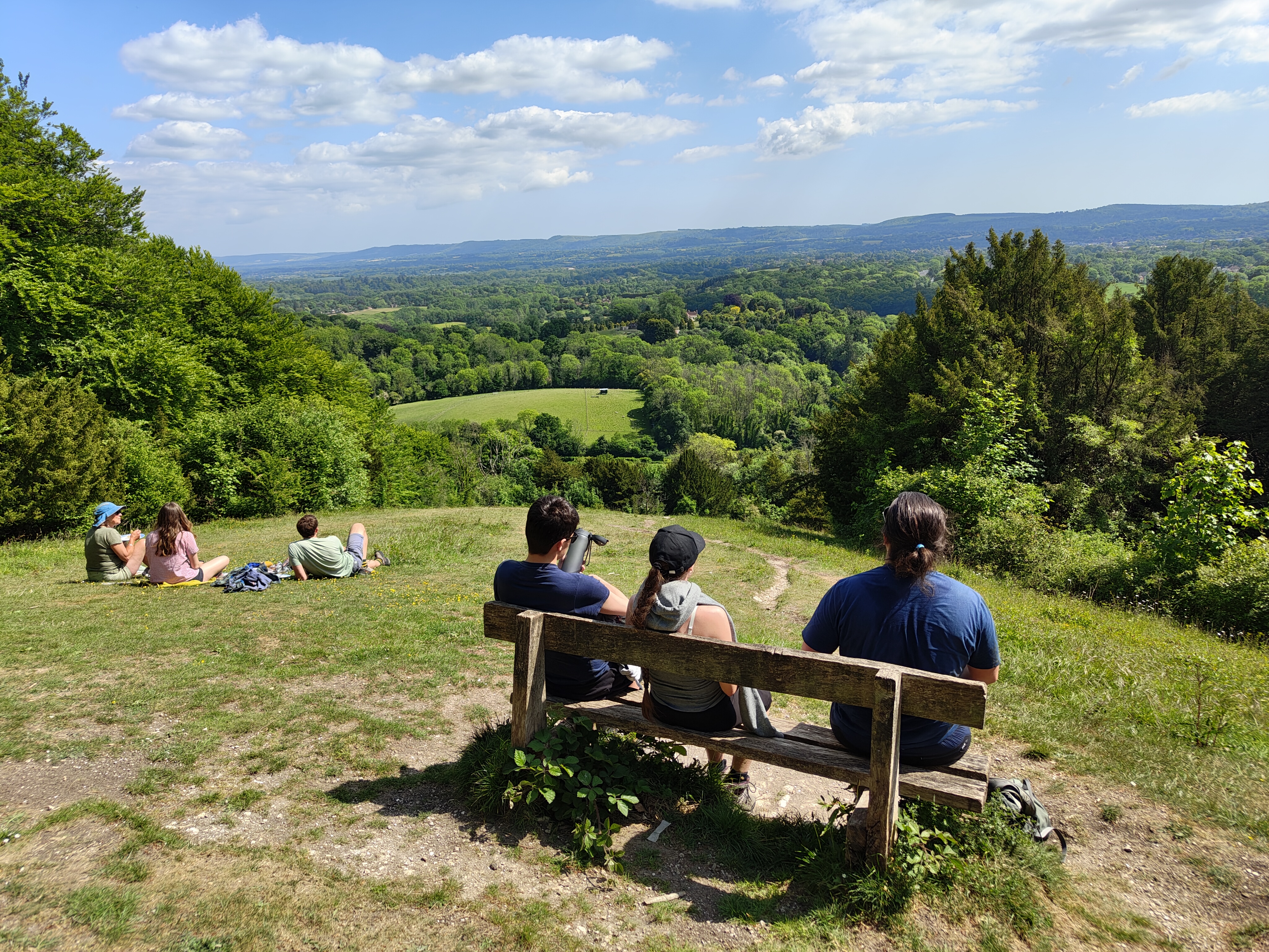
William Cobbett wrote 'beautiful beyond description' in his Rural Rides, after passing through Hawkley in 1822, on his way from East Meon to Thursley. Cobbett was enchanted by the rolling, beech-clad hills that characterise this relatively unexplored part of Hampshire. Abiding love Known

Route

Start

51.05692, -0.93771

With your back to Hawkley church, walk left beside the green to the road junction. With The Hawkley Inn away to your left, cross over to join Cheesecombe Farm Lane. Shortly, bear right along a concrete path, signed Hangers Way, and soon after bear left onto a path. Descend to cross a stile and keep straight on at the fork of paths, hugging the left edge of the field with Cheesecombe Farm to the left.

51.05641, -0.93756

51.05063, -0.93584

Cross a stile and bridge over Oakshott stream and then another stile and keep left along the field edge beside woodland. Steeply ascend to cross a stile, and follow the fenced path uphill and left. Drop down to a track and turn right, to reach a junction, then right again for 55yds (50m) to take the waymarked track straight ahead.

51.04458, -0.93803

Climb the long and steep chalky track up through Down Hanger (this can get very wet and muddy), with views east along the South Downs unfolding. At the top of Wheatham Hill, turn left, with a sign for Ashford Hangers National Nature Reserve ahead. Pass a barrier and follow the gravel track.

51.03923, -0.94143

Turn left up the second set of steps to enjoy Cobbett's View. Return to the main track and continue downhill for 0.5 miles (800m). Just before a gate and a lane, climb the stile right and descend through an avenue of trees and across a field to a stile and lane. Turn right.

51.03948, -0.94085

51.03950, -0.94079

51.03670, -0.93015

After 400yds (366m), take the footpath left, to the left of a gate. Descend to a metal kissing gate and bear gently right across the field to another kissing gate by a telegraph pole. Turn left over a stile and follow the field edge via another stile to Steep Marsh Farm. Turn right across the ends of the large barns and join a wooded track. Keep left at a junction of paths. Shortly after, cross the drive to Taylors Copse Farm and back into woodland. Cross a stream. Just before a curving drive, climb the short steep path left within the trees to a stile. Follow the signed path across the field ahead to a stile, and continue onto a track by stables, pass the stables on your left and reach a lane.

51.02915, -0.92926

51.02609, -0.92502

Turn right, passing three houses, then, at a sharp left bend, bear off right into woodland. Walk above a small ravine and past a pair of timbered cottages to a footbridge. Continue ahead and pass The Harrow Inn. Turn right at the junction and walk uphill into Steep to All Saints church.

51.02159, -0.92757

51.02056, -0.93026

51.02268, -0.93793

Follow the Hangers Way opposite, across a playing field and down through Northfield Wood to a kissing gate. Walk along the left-hand field edge to a kissing gate and road. Turn right and then, as it swings right, keep ahead up the footpath (the waterfall is to your left). At a junction, turn left and walk through light woodland. Emerge onto a drive just by the gates to The Waterhouse, and turn right leading up to a lane beside Ashford Chace.

51.02772, -0.94270

51.03323, -0.94563

Turn right and then almost immediately left along a footpath towards Shoulder of Mutton Hill. Enter the Ashford Hangers National Nature Reserve and immediately take the middle of three paths ahead to climb steeply up the grassy scarp slope to the Edward Thomas memorial stone. At the top, go through a barrier and keep straight ahead to reach a track. Turn right beside the Ashford Hangers NNR sign, then after 200yds (183m) bear left up a path into the woodland. On reaching a crosstrack head straight across through a kissing gate.

51.03569, -0.94668

51.03646, -0.94737

51.03766, -0.94832

Follow the Hangers Way as it descends through three kissing gates, through the edge of beech woods and steeply down across meadowland, through another kissing gate to a path between fields, eventually joining the drive to Lower Oakshott Farmhouse and a road.

10
51.04586, -0.94436

Turn right then left through the gap and follow the defined Hangers Way path through the Oakshott Valley, crossing stiles, plank bridges and delightful meadows to reach the junction of paths before Cheesecombe Farm. Turn left to the stile. Retrace your steps back to Hawkley and your car.

12.17 km

Finish